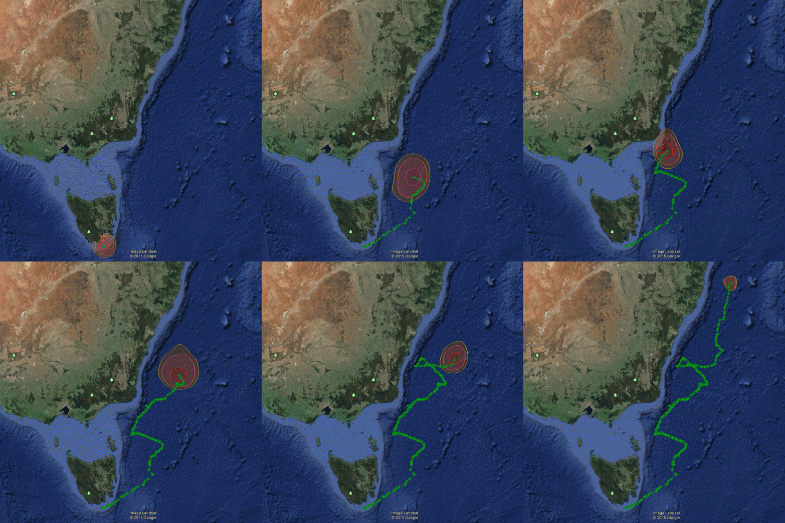
For animals that do not spend time at the surface, geolocation can be used to estimate positions. Wildlife Computers geolocation processing software (GPE3) uses observations of twilight, temperature, and depth along with corresponding reference data on sea surface temperature and bathymetry to determine an animal’s trajectory. The result is a time discrete gridded distribution of location likelihoods throughout a deployment.
GPE3 is an integrated component of the Data Portal and runs exclusively on our internet servers.
Learn how to run GPE3 geolocation processing with our User Guide

