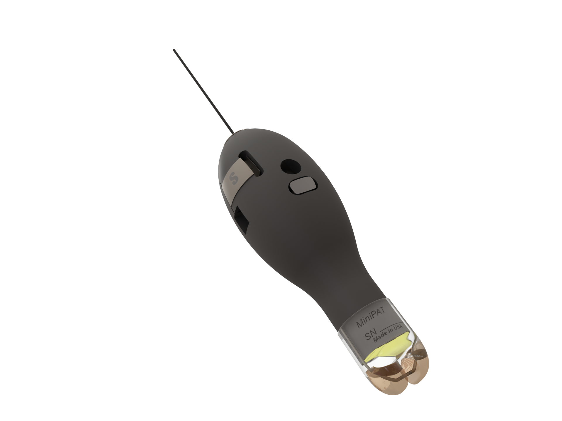
Key Benefits
Benthic species can remain stationary for days, making it difficult to deduce mortality from our typical data sets—depth, temperature, and light. The Benthic sPAT adds tilt to help measure activity (or inactivity) to help determine mortality.
Like our other pop-up satellite tags, sensors collect data during deployment and archive it onboard the tag. Then, on a preset date, the tag releases from its host animal, surfaces, and uploads a summary of the archived data to the Argos satellites. The Wildlife Computers Benthic sPAT tags work on species like halibut, sole, flounder, turbot, and rays.
The Benthic sPAT is attached using a single-point tether that allows it to tilt over (knockdown) when the animal swims in a burst. While stationary, the tag is vertical and the accelerometer is reporting “upright” but when the animal swims, there is a change in acceleration that causes the tag to “knock down.” This creates a very noticeable signal in just the Az accelerometer channel.
The user selects the threshold that qualifies a change in acceleration as a knockdown event. The user also selects a threshold definition of upright to determine the amount of time a tag spends upright versus tilted.
For each UTC day, one orientation message is generated that contains two-hour summary periods with the following information:
- Time upright
- Number of times the tag was knocked down
- Wet/dry summary
Benthic sPATs can release on a date, interval, or if the tag detects it is at the surface and reading dry, indicating the tether has broken or has become
detached from the fish.
Key Features Available in the Benthic sPAT
Economical Monitoring of Animal Survivorship — most survivorship studies require a large sample size to be statistically significant. Built for a single purpose, the sPAT offers a larger number of data points for your budget.
Full Data Archive Available on Recovery — a complete data record is stored onboard the tag so if you recover it, you can access it.
The Portal Advantage — Benthic sPAT tags are supported by the Wildlife Computers Data Portal, a collection of data management tools and services. Developed specifically for the display and investigation of data from Wildlife Computers tags, the data portal streamlines the processes of acquiring, preserving, and sharing data services. The portal helps collect, prepare, and analyze the data returned from the tag—via Argos or the archive. Data are easily sorted, filtered, searched, uploaded, and shared. You can see a Google Earth display of your deployment track, color-coded to show the relative age of each location. You can also set up a live KMZ to get data into your own monitoring system.


