What Our Tags Can Do
Biologging involves the use of technology to track and monitor the behavior and movements of animals in their natural habitats. For the past four decades, Wildlife Computers has been a pioneering force in the field of biologging. Wildlife Computers tags have appeared in over 4000 scientific publications. The accuracy and reliability of Wildlife Computers technology have enabled researchers to collect detailed data on animal location, movements, and physiological responses, providing invaluable insights into various aspects of animal behavior.
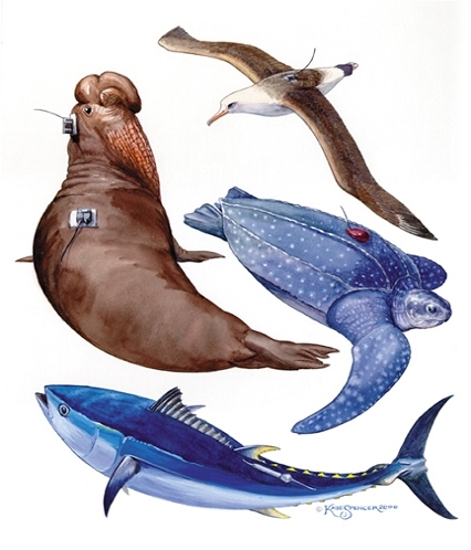
At Wildlife Computers, we specialize in providing researchers and scientists with cutting-edge technology for studying marine wildlife. We offer a wide variety of tags for a wide variety of species including cetaceans, turtles, fish, pinnipeds, and more—over 200 shapes and technology combinations to get you the best data for your study.
Wildlife Computers specializes in robust tracking solutions for turtles. A range of shapes and feature sets are available, suitable for many different sizes (adult and juvenile) and kinds of turtles.
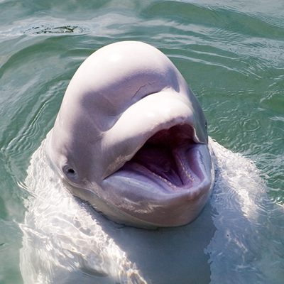
Cetacean tagging with telemetry tags is a complex process requiring specialized training and equipment. The tagging process itself can be invasive and stressful for the animals, which requires careful consideration and ethical handling practices. At Wildlife Computers, we specialize in providing researchers and scientists with cutting-edge technology for studying marine wildlife. We offer three different types of telemetry tags for cetaceans—LIMPET, Transdermal, and Finmount—each designed to meet the unique needs of researchers studying different species of whales, dolphins, and porpoises.
Wildlife Computers gives you the technology you need to meet the requirements of your project, no matter what kind of fish you are studying. We offer a variety of shapes and sizes using pop-up, pop-up-archival, Argos, GPS, or Fastloc® technologies. We also offer a myriad of data products that allow you to monitor everything from physiological functions to environmental conditions.
Maybe you study pinnipeds. We make tags for them too. Our extensive collection of back and head mount tags allow you to find the right package for your project.
Antifouling Protocol
Everything you need to know to limit biofouling (optional for cetaceans)
Read MoreAdditional Information
Some of Our Key Features
Highly Customizable Data Collection and Transmitting Schedule—researchers can customize and prioritize data transmissions to capture the information that is most important for the project. Deployments can be tailored to address unique experimental objectives. Flexible transmission schedules provide the ability to extend the life of the tag by focusing on specific seasons or times of the year and optimizing transmissions for when satellites are in view.
Mortality Detection and Tag Detachment—most of our pop-up tags monitor for constant depth, a state which implies the tag is floating at the surface or sitting on the sea floor. If constant-depth conditions are met, release is activated. Tags will transmit even in the event of attachment failure, animal mortality, or unexpected animal behavior. This feature minimizes the chance that something will damage the tag between the conditional release event and the programed pop-up date.
Recovery Pinger—SPOT tags are equipped with a UHF pinger. This optional pinger can be enabled to send out low-power, unmodulated “pings” while the tag is at the surface. Tags and animals can then be located and actively tracked using a directional antenna and receiver.
Full Data Archive Available on Recovery—if your tag offers an archive, the full data set is available upon recovery, even if the battery is dead—data are maintained in the archive for up to 25 years.
The Portal Advantage—most of our tags are supported by the Wildlife Computers Data Portal, a collection of data management tools and services. Developed specifically for the display and investigation of data from Wildlife Computers tags, the data portal streamlines the processes of acquiring, preserving, and sharing data. The portal has tools to program the tags and collect, prepare, analyze, and present the data returned via Argos. Data are easily sorted, filtered, searched, mapped, and shared. You can see a live map of your tracks, with positions color-coded by the time since deployment. You can also set up a live KMZ to view your data in your own visualization browser.

