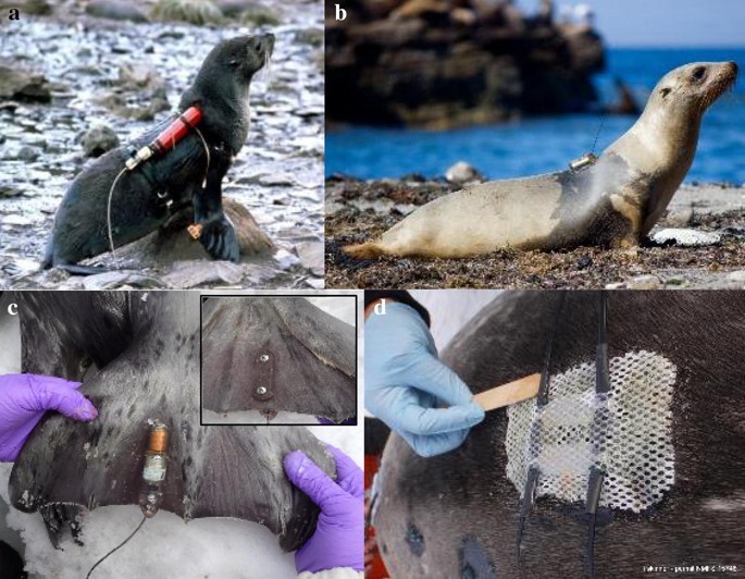
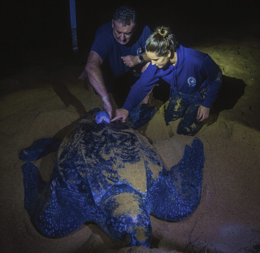
Robots are being used to help validate hurricane forecasting models. NOAA is looking at water temperature and salinity to help provide clues to how strong a hurricane can become. Improving forecasting of these deadly storms is vital and the data collected will help scientists understand...

Researchers from the University of Washington are using Wildlife Computers tags on swordfish to understand where they are feeding and to gain insight into “deep-sea ecosystems.” Camrin Braun and Peter Gaube headed up this project. The paper, published in June, analyzed 16 swordfish tagged off...

The Chagos Archipelago in the Indian Ocean is home to the world’s largest marine protected area and some pretty cool green turtles. In 2012, Graeme Hays and his team of intrepid biologists conducted one of the first satellite tracking studies on the green turtle in...

A recent study used implantable Wildlife Computers Life History Transmitters (LHX) with pop-up archival transmitter tags to improve location estimates. In this study, researchers were able to “classify mortality by cause and location by applying a time-reversed state-space modeling technique.” The data also provided “insight...

Remember 184? MMoME rescued him as a young, abandoned seal pup back in June from Kennebunkport, ME. He was rehabilitated at MMoME's center and after a full recovery, was released in early October. He was outfitted with a satellite tracking tag created by Wildlife Computers to...

Google Translate »